


Western Region
Blow Me Down Mountain Trail – International Appalachian Trail
Frenchman's Cove, Bay of Islands, Humber Arm South
May 1 - Nov 30
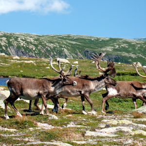
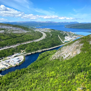
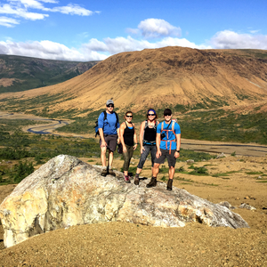
Blow-Me-Down Mountain Trail crosses the Blow Me Down Ophiolite Massif west of Corner Brook. The southern terminus of this 30km unmarked backcountry trail route is located near the western end of Serpentine Lake via Simms Gulch, while the northern terminus is located off the Forestry Road above Benoit's Cove, along Route 450 on the south side of the Bay of Islands. This spectacular and challenging trek crosses rust-colored peridotite from the earth's mantle and rises to a height of 650 meters.
Location & Dates
Pricing
Free.Contact this operator directly for information on their accepted electronic payment options.
More Listings from Blow Me Down Mountain Trail – International Appalachian Trail
Indian Lookout Trail – International Appalachian Trail
Portland Creek
Attractions
Humber Valley Trail – International Appalachian Trail
Corner Brook
Attractions
International Appalachian Trail Newfoundland & Labrador
Port aux Basques
Attractions

Lewis Hills Trail – International Appalachian Trail
Stephenville
Attractions

Planning a trip? Let's have a chat.


© Newfoundland and Labrador Tourism


