


Planning on driving? Most travellers will take the ferry from Nova Scotia to either Port aux Basques or Argentia, and there are ferry routes for travelling between the island and Labrador. You can also drive to Labrador from the mainland of Canada, via Québec.

Ferry to Newfoundland
Located at the most easterly edge of North America, Newfoundland and Labrador makes a great road-trip destination. Most auto travellers access the province by Marine Atlantic ferries, which operate between Nova Scotia and the island of Newfoundland. These modern vessels carry thousands of vehicles and passengers to the island every year.
There is year-round service between North Sydney, Nova Scotia and Port aux Basques, in southwestern Newfoundland. Most days have two sailings – morning and evening – and the crossing takes six to eight hours, depending on weather.
From June to September there is also service between North Sydney, Nova Scotia and Argentia, on the Avalon Peninsula, a 90-minute drive from the capital city of St. John's. This longer trip, about 15 hours, runs three times a week.

Driving to Labrador
From anywhere in North America, arrive in Labrador via Québec highway routes QC 138 and QC 389 that connect with the Québec-Labrador border at Fermont, QC / Labrador City, NL. From there, follow Expedition 51° east along NL 500 to Happy Valley-Goose Bay, then south along NL 510 to Blanc Sablon, QC, to travel on the daily, year-round ferry service (a 1.5-hour trip) at Blanc Sablon, QC to St. Barbe, Newfoundland.
The travel time is about eight hours from Baie Comeau, QC, to Labrador City. Services along the route are very limited, but the terrain is marvellous, rising from the lower reaches of the Québec Lower North Shore to the escarpment that is the Canadian Shield. Crossing from Québec to Labrador moves you from Eastern Time to Atlantic Time (1 hour ahead).

Driving across Labrador
From Labrador City and Wabush to L’Anse-au-Clair, Expedition 51° crosses The Big Land, connecting the west to the south coast, 1,135 kilometres away. The drive east follows the watershed and rivers linking the Churchill River to Happy Valley-Goose Bay and North West River. Further south, you can find historic sites at Battle Harbour, Red Bay, and L’Anse-Amour en route to the Québec-Labrador border to travel on the daily, year-round ferry service (a 1.5-hour trip) at Blanc Sablon, QC, to St. Barbe, Newfoundland.

Ferry to Labrador from Newfoundland
From the island of Newfoundland, take the Trans-Canada Highway (Route 1), which spans the island from Port aux Basques to St. John’s — 905 kilometres. All highways off Route 1 are paved. Most coastal roads are paved with posted speed limits of 60–100 kilometres per hour. From Deer Lake, travel north via route 430 (the Viking Trail) to the daily, year-round ferry service at St. Barbe to Labrador via Blanc Sablon, QC. During peak season, the ferry runs several times each day, and the crossing takes less than two hours. The trip is a great opportunity to spot icebergs, whales, and birds, so keep a lookout while you’re on board. There’s a switch in time zones as you cross between the provinces; be sure to double-check crossing times (the schedule on the website uses Newfoundland Time for all departures).

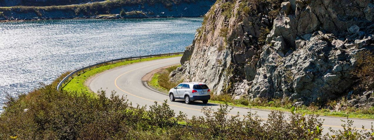
With so many memorable places to see and things to do, finding the best way to travel around Newfoundland and Labrador is as important as figuring out where you want to go. Our province is much larger than most travellers realize, with lots of open country.

Driving Distances
To give you a better idea of the province’s size, Newfoundland and Labrador is more than three times the total area of the Maritime Provinces (Nova Scotia, New Brunswick, and Prince Edward Island) and would rank fourth in size behind Alaska, Texas, and California if it were one of the United States. It's almost one-and-three-quarter times the size of Great Britain. Most of that open space is in Labrador, but even on the island, the nine-hour drive from the ferry at Port aux Basques to the capital city of St. John’s is longer than the drive from Toronto to New York or from Paris to Berlin.

Interactive Map
While there may be times when you truly want to get lost in this land, you might need a hand finding your way back. Our interactive map will help you plan routes, determine distances, and highlight accommodations and attractions along your journey.

511 Traveller Information System
NL 511 is your source of up-to-date information on winter driving conditions, construction and major incidents, highway cameras, ferry status, and more. Travellers can access 511 by using the free smartphone app (Apple, Google Play), visiting the website NL511.ca, or dialing 5-1-1 to hear key information over the phone.

Planning a trip? Let's have a chat.


© Newfoundland and Labrador Tourism
 Sign Up